What is El Niño, and how does it affect weather across the U.S.?
Airleaf research team · · 7 min read
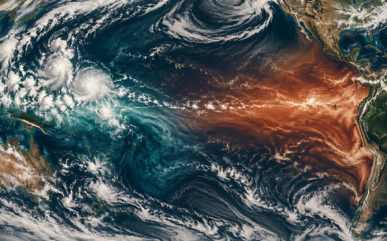
Every few years, a patch of the Pacific Ocean off South America warms by a degree or two, and winter in the U.S. stops behaving the way the Farmer's Almanac or last year's pattern would suggest. That patch has a name — El Niño — and knowing what it can and can't be controlled is the difference between useful preparation and false comfort.
What El Niño actually is
El Niño is the warm phase of the El Niño–Southern Oscillation (ENSO), a cycle in sea-surface temperature across the equatorial Pacific. Normally, trade winds push warm surface water west toward Asia and Australia, letting cold, nutrient-rich water rise off the Americas. During El Niño, those trade winds weaken, warm water sloshes back east toward South America, and the atmosphere above it reorganises accordingly.
NOAA's Climate Prediction Center tracks this directly and issues seasonal outlooks months ahead — it recurs every two to seven years and typically peaks over a single winter.
How El Niño changes weather across the U.S.
The jet stream shifts south during El Niño winters, and that single change cascades differently depending on where in the country you are:
- Pacific Northwest & Northern Rockies — milder, drier winters than usual
- California — a wetter, stormier storm track, often easing drought but raising flood and landslide risk
- Southwest — above-average rain and snowpack, a rare wet break for a normally dry region
- Gulf Coast & Southeast — wetter, cooler winters
- Ohio Valley & Midwest — milder, less severe winter weather than average
- Atlantic hurricane season — typically suppressed, since El Niño's upper-level winds shear storms apart
Can the U.S. — or anyone — control El Niño?
No, and it's worth saying plainly, since "how to control El Niño" is a genuinely common search. The ocean heat driving ENSO is on a scale far beyond any current human intervention. Speculative geoengineering ideas — artificially cooling the eastern Pacific — exist only as unproven, high-risk research concepts, not tools anyone can use today.
What Americans can actually do about it
The realistic move is tracking NOAA's seasonal outlooks and adjusting for your region rather than waiting for the event to arrive:
- Check NOAA's Climate Prediction Center outlook for your region each fall
- In California and the Southwest, prepare for flood and landslide risk in a wet El Niño winter, not just drought relief
- In the Pacific Northwest, expect a lighter snowpack year and plan water use accordingly
- Keep an eye on local AQI — a milder, wetter winter in one region can mean stagnant, drier air building up pollution in another
Put it into practice
See how many trees your own street has and how clean its air is.
Check my area →