Environmental risks to watch in the U.S. in 2027
Airleaf research team · · 8 min read
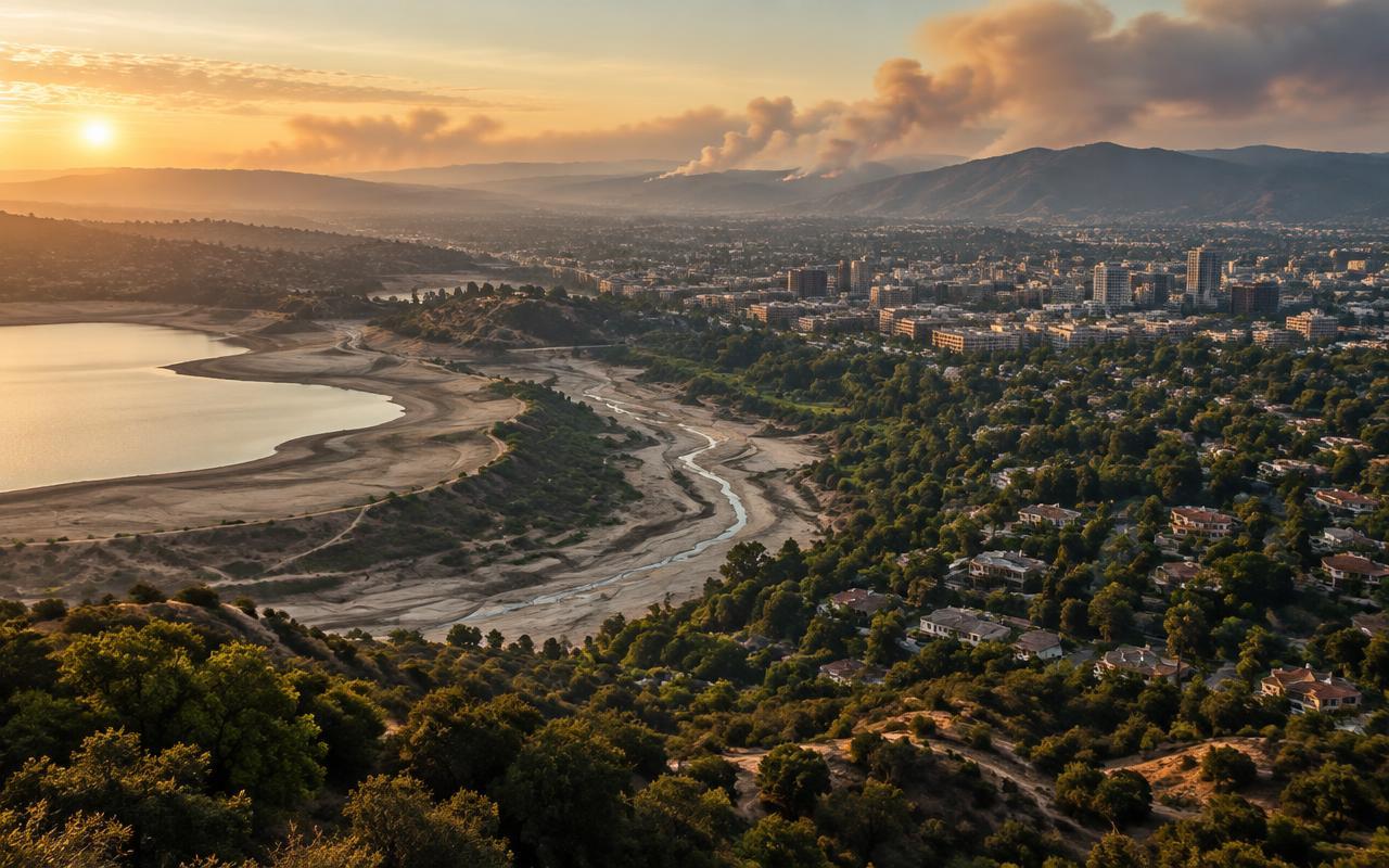
No one can hand you a verified list of what 2027 will bring — forecasting individual events years out isn't how climate science works. What can be done honestly is extrapolate from trends already well underway in the U.S. and flag where they're heading.
Heat keeps setting records in America's cities
Phoenix, Houston and much of the Sun Belt have logged progressively longer stretches of extreme-heat days in recent years, and urban heat compounds that further: concrete and asphalt absorb and re-radiate heat, so cities routinely run several degrees hotter than nearby rural land. Nothing about that mechanism reverses on its own — the trend line points to more record-breaking heat events in already-hot, low-canopy U.S. cities.
Wildfire season keeps creeping earlier and later
California and the Pacific Northwest have both seen their wildfire seasons stretch further into what used to be the off-season, driven by drier vegetation and longer dry spells. The realistic risk for 2027 isn't a single record-setting fire — it's more weeks per year where a Western U.S. city's air quality depends on a fire hundreds of miles away.
Water stress in the West, flood risk in the East
Whichever ENSO phase 2027 lands in, it will push drought risk toward one coast and flood risk toward the other, largely along the fault lines that separate El Niño and La Niña winters. The risk to watch isn't the swing itself but Western reservoirs or Eastern flood defences facing back-to-back opposite-extreme years without time to recover in between.
Air quality pressure in fast-growing Sun Belt cities
Population and vehicle growth continue to outpace clean-air infrastructure in several fast-growing Sun Belt metros. Combined with wildfire smoke drifting in from the West and the stagnant-air effect ENSO cycles can bring, the realistic risk isn't a single dramatic event — it's more days per year landing in the EPA's "Unhealthy for Sensitive Groups" band or worse in the cities already closest to that line.
Shrinking urban canopy against rising demand for shade
Tree cover is being lost to development in many growing U.S. metros faster than it's being replanted, right as heat makes canopy more valuable, not less. That gap — more heat, less shade — is one of the more measurable and locally-fixable risks on this list.
What actually helps
The common thread across all five is that they're measurable, and measurement is what turns a vague risk into a fundable fix: knowing which neighbourhoods sit furthest below healthy canopy, which streets run hottest, and which weeks bring the worst AQI turns "environmental risk" from a headline into a map with a to-do list.
Put it into practice
See how many trees your own street has and how clean its air is.
Check my area →